Finale - last trip of the year , up Mt-Tapuaenuku with Carl , Elliot and Ashley. Another great trip to the Monarch of the upper South Island.

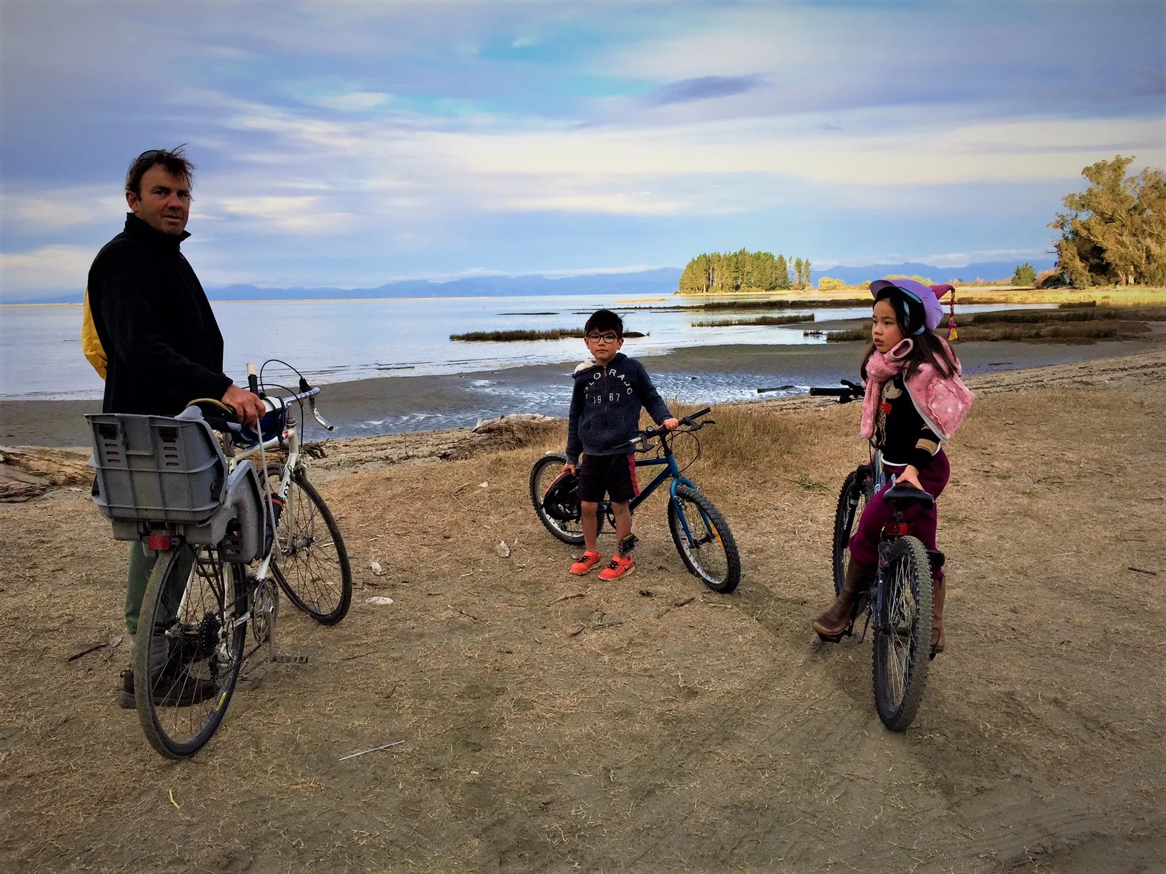
At home with Linna, Isabelle and Leo
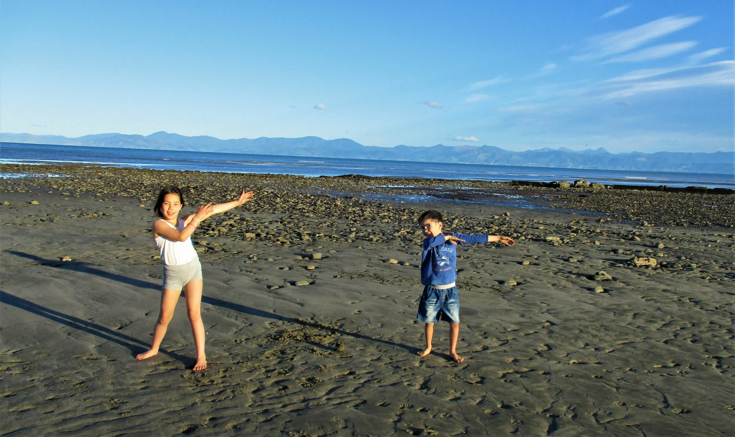
On the beach , just a Kilometer from home where we spend alot of summer!!
Below , Pictures from the Trip to Tapuaenuku

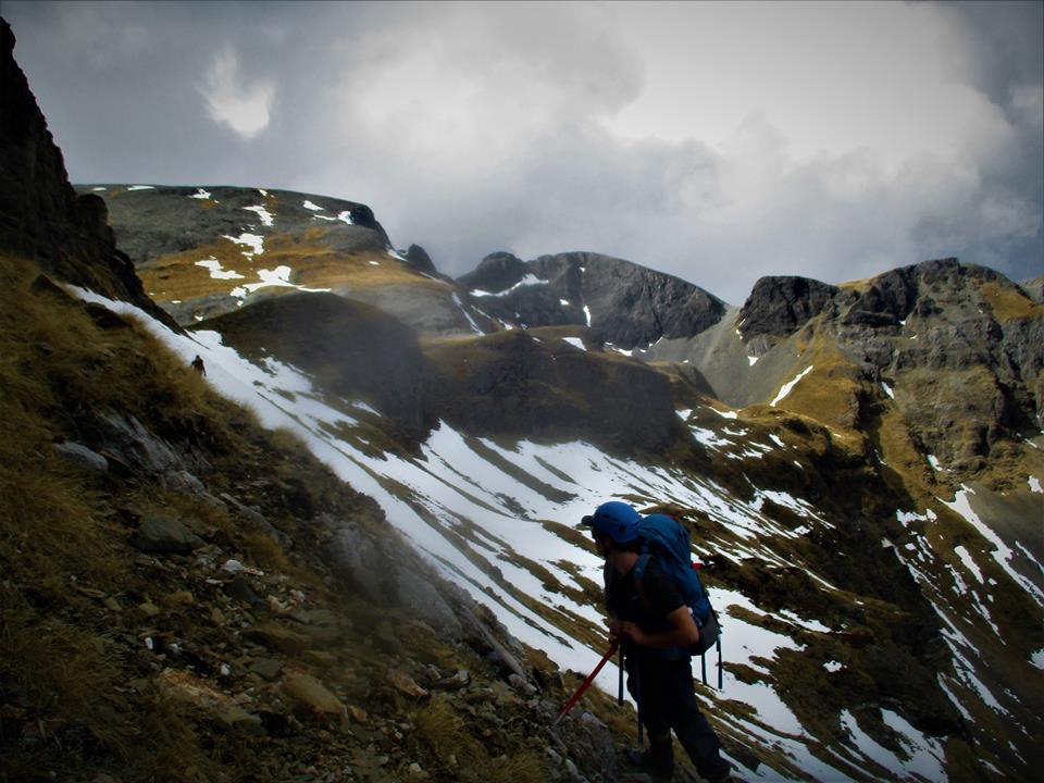
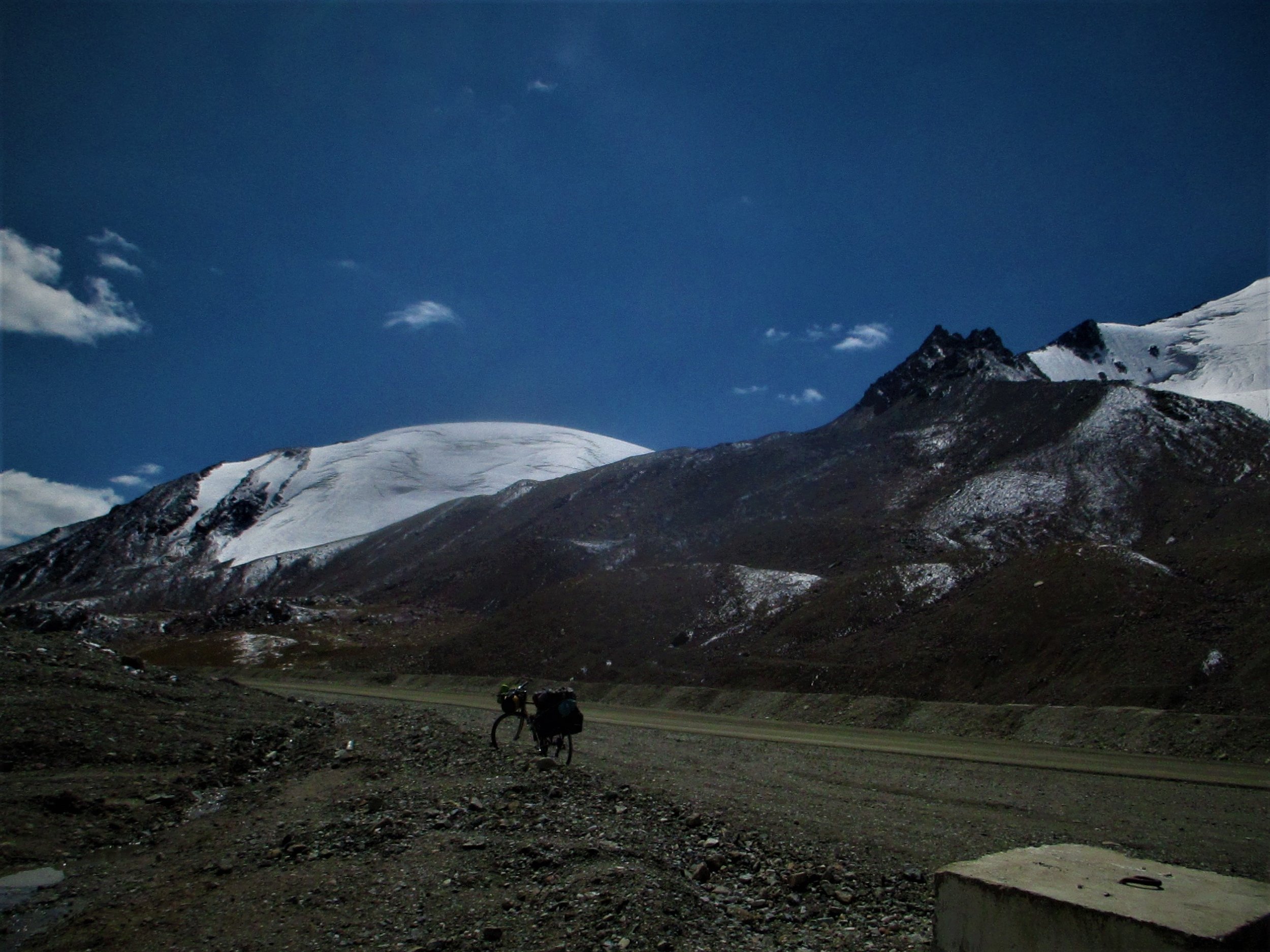
The day after Tapuaenuku, Carl and I went up Point 2411m on the ridge West of the Hodder river. Unfortunately I had lost my Camera and Carl's phone lost its power and we only got a few shots on way up. The view from the top was one of the best Mountain views I have seen (no photos unfortunately) . To the West river valleys curled in all directions and Mt Gladstone looked rather rocky - and another peak 2578m to South East looked outright ornery . Almost the whole Inland Kaikoura range from South to North was visible which gave a great indication for conditions of the traverse I'd like to make when a few free days come up. But above all was Tapuaenuku - you never really see it in its entirety when you climb from the Hodder but from 2411m it was the absolute Monarch reducing both Mitre and Alarm to second rank. It filled the whole eastern horizon Buttress's , Pinnacles , gully's , ridges - real Character.

Sunning on the warm summit before the Thunderstorms rolled in.

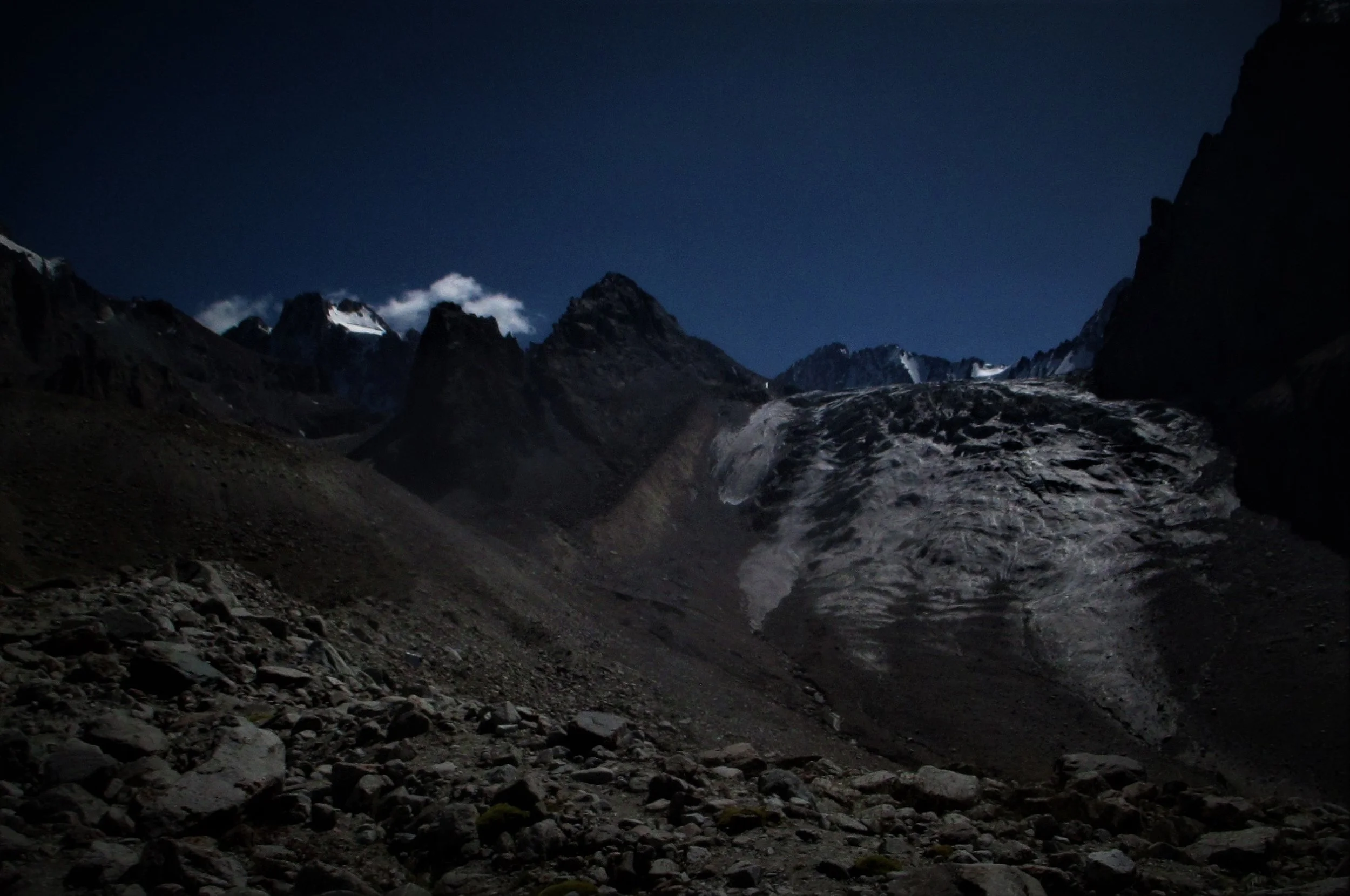
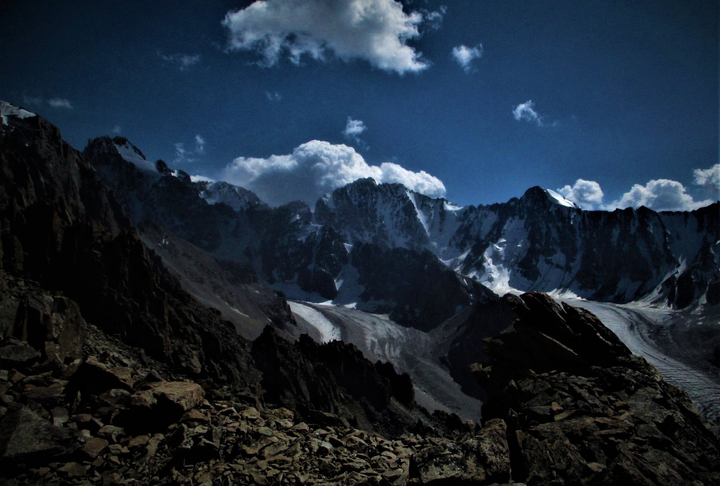
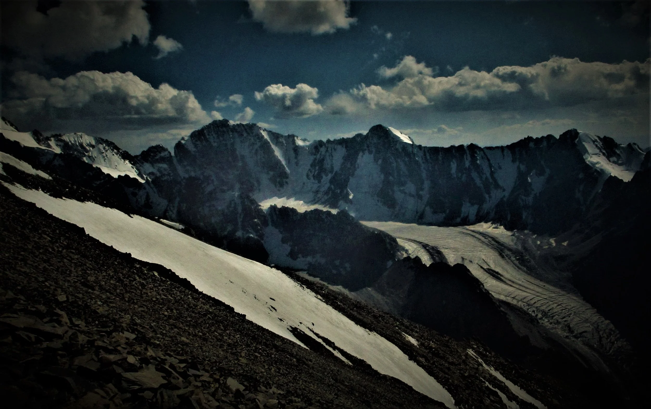
Mt Alarm

Looking West to Mitre peak

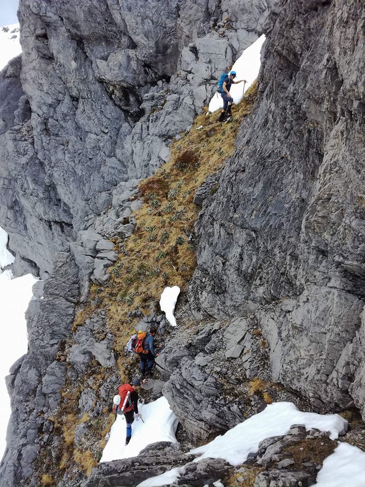
The trip up the Hodder river canyons takes 4 to 5 hours and up to 80 river crossings before arriving at the Hodder hutsite below the mountain.

We left late and I'm searching in my bag for lights on the way up the canyon.

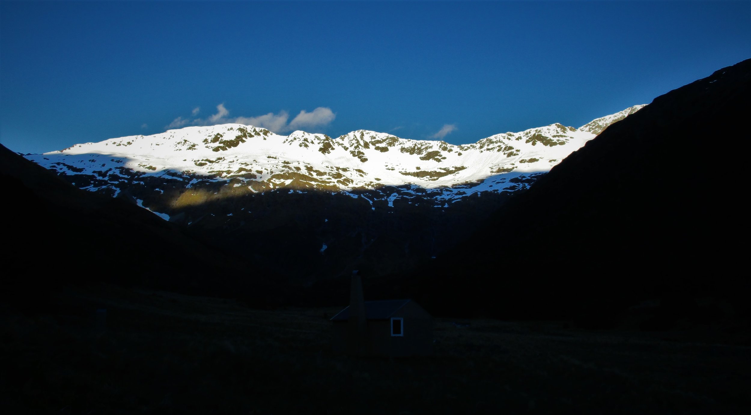
Morning view North from Huts - to the Richmond ranges.

View to the East and South America over the Pacific from the Summit

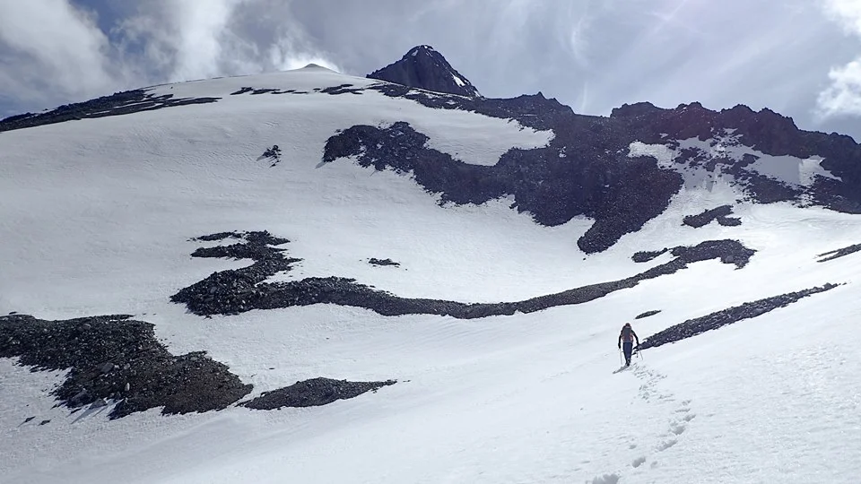
Carl Heading to the Summit Pyramid which we attacked in somewhat unorthodox style by a series of snow gullies on the West Face.

Black and White
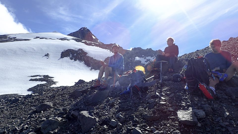
Resting before the final part of the climb.

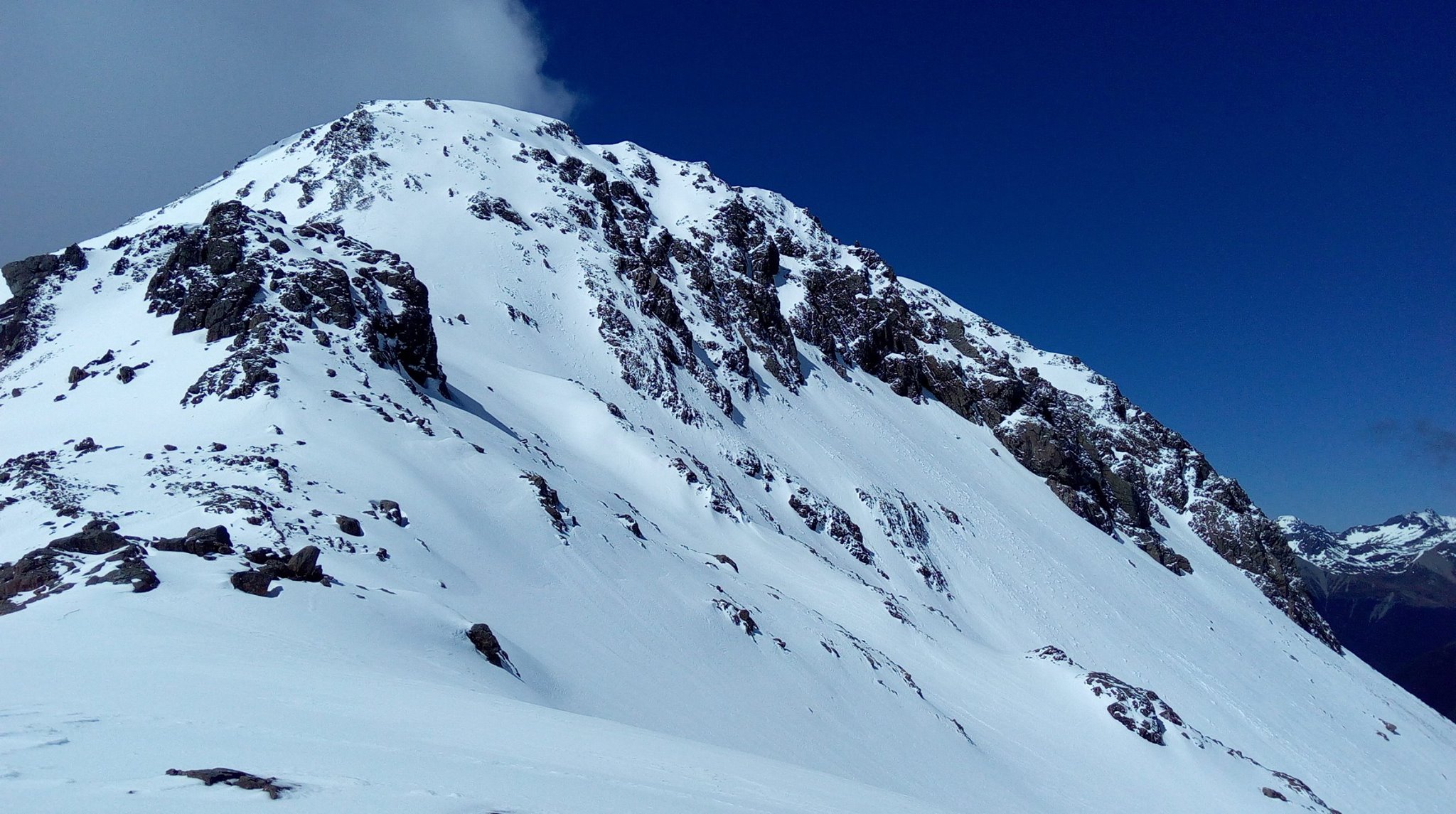
Final Pyramid rising about 200 vertical meters above.

looking Noorth from the summit.

the striking final pyramid.

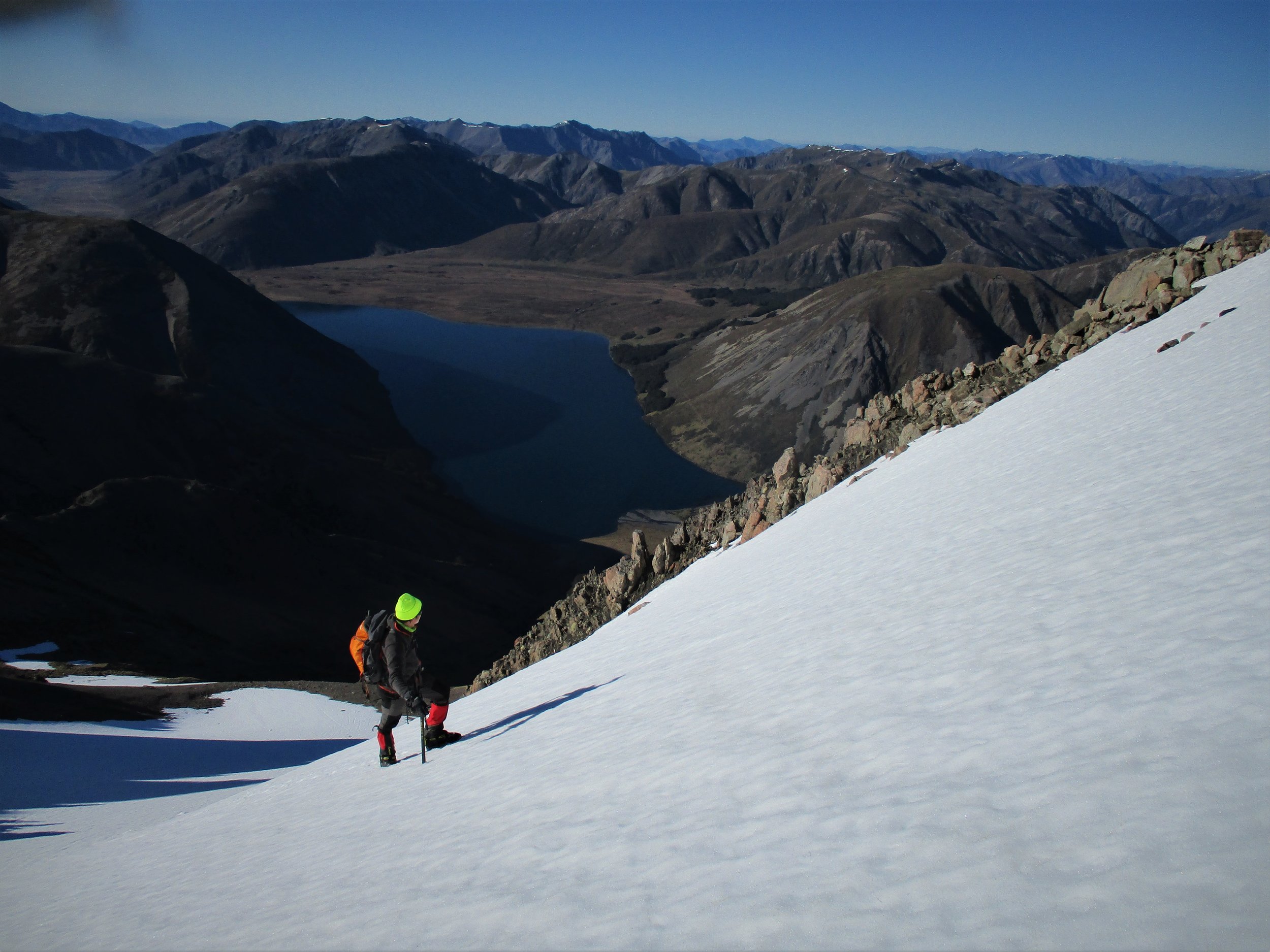
Climbing the long snow coulior that lead to the small resting plateau.

On descent.